maps
|
maps |
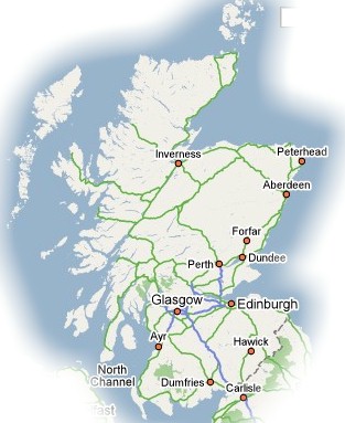
over all map of Scotland: We're from the south-east on the border with northern England
 |
m | 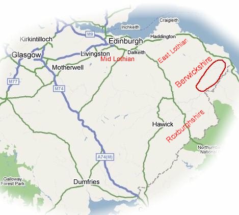 |
red marks the area where these little parishes where within Berwickshire |
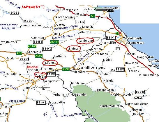 |
Mapquest shows
the place names that feature most prominently in the birth places and resting
places of W1 and W2's generations
Whitsome, home of William
and Christian late 1820's to early 1830's
10 years later, Margaret
was buried in Swinton in 1843
When I look for names in the various online databases, I concentrate on Berwickshire, but I also check Roxburghshire to the west and East Lothian, to the north |
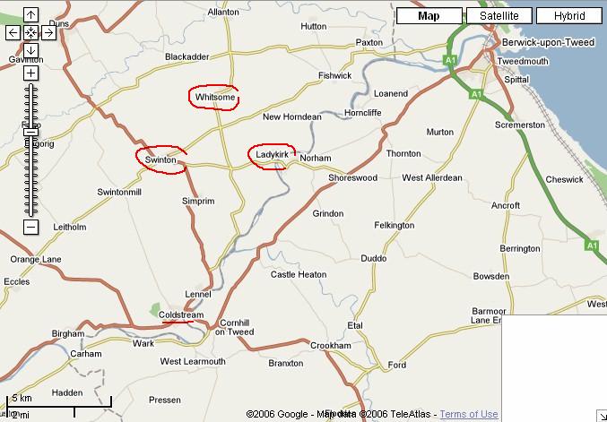 |
Google Maps shows the places a bit more clearly |
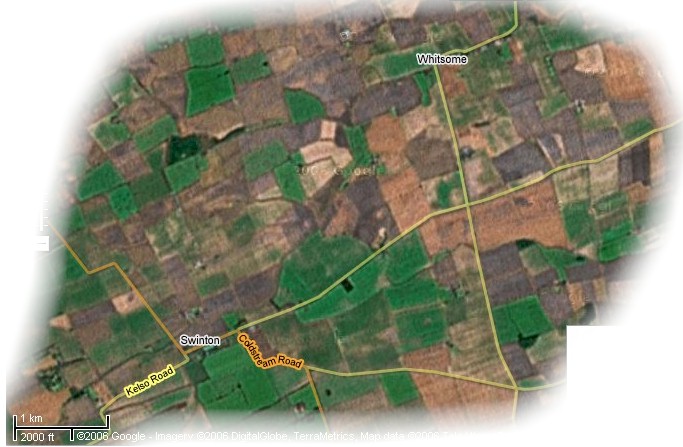 |
Google Maps showing
the Satellite view
seems to be mostly farming |
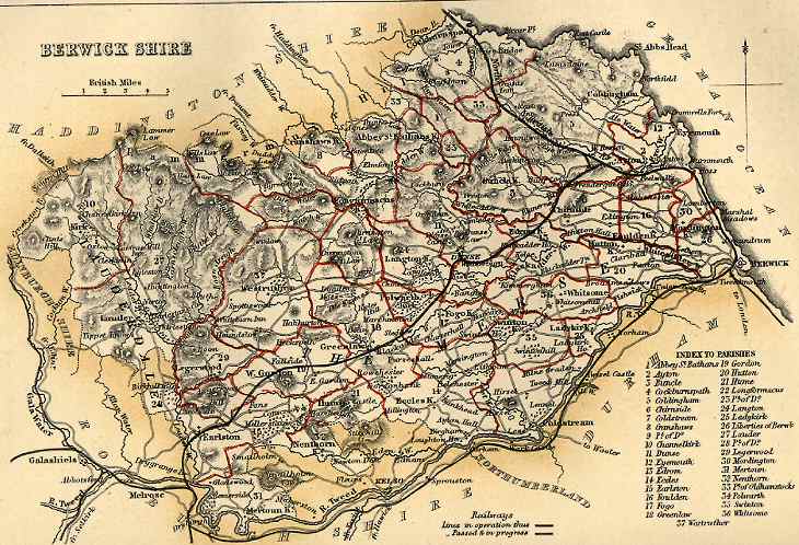 |
"map from the Imperial Gazetteer
of Scotland, edited by John Marius Wilson and published by A. Fullarton
& Co. in 1868. This map, which appears in
volume I of the gazetteer opposite page 157, was drawn by W. Johnston and engraved by W. Smith." from a page created by Vivienne S Dunstan |
 |
Found this site 2004 March
9th,
haven't check it out much yet |
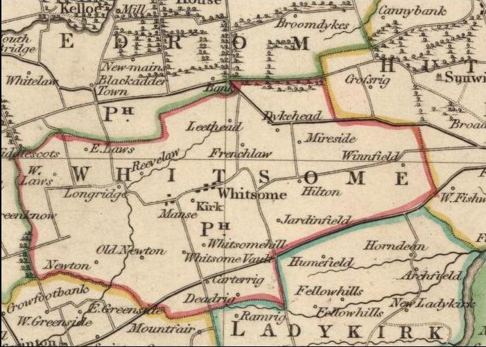 |
1832 Whitsome
Old map of Whitsome Parish
from
|
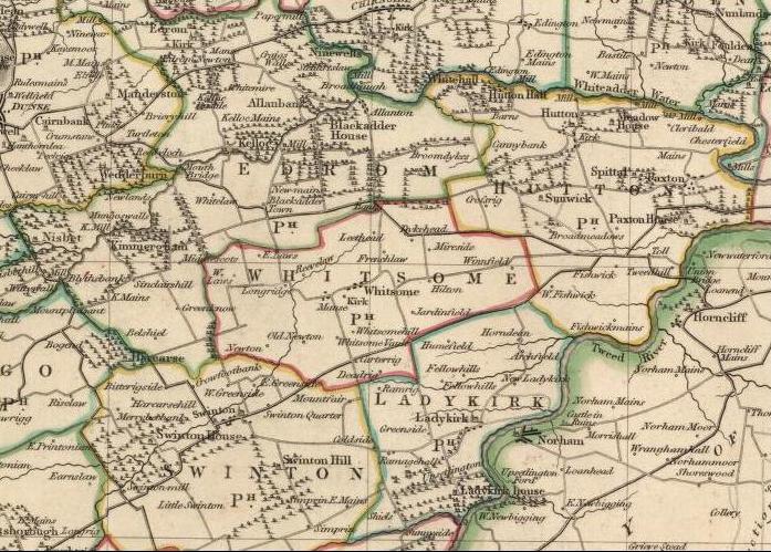 |
Area immediately surrounding
Whitsome Parish from
John Thomson's Atlas of Scotland, 1832 http://www.nls.uk/digitallibrary/map/early/455.html |
|
|
.RICHARDSON CONTACTS.I.MAIN PAGE.I.BERWICKSHIRE.I.LINKS..I.FIRST NAMES LIST.I.W1.I.W2.I.W3.I MAPS.I.WORKING NOTESI |
| . |
changes last made
2004 May 24